Spectacular! Qinghai's Danxia
Appreciation of Danxia Landforms in Qinghai Province
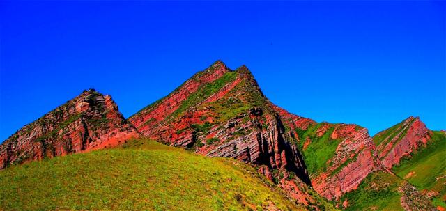
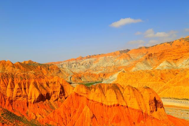
According to a geological heritage investigation team from the Qinghai Province Geological Survey Institute: The distribution area of Danxia landforms in Qinghai Province is wide, extending from Minhe County to Zongga Township and from south to north to Qilian County; its stratigraphic span is large, with development from the Cretaceous – Upper Jurassic; Danxia landforms have diverse forms, rich types, and vibrant colors, well-preserved, with high aesthetic viewing and scientific research value.
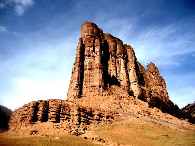
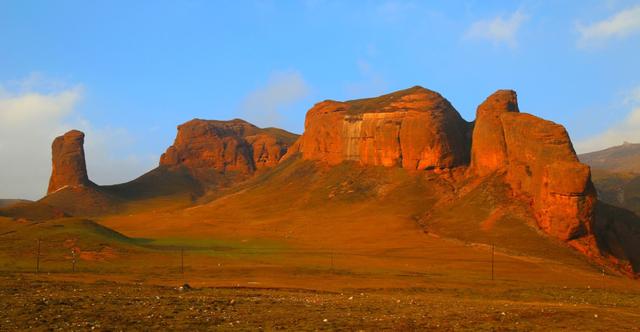
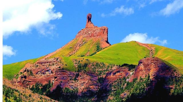
Dilong Mountain Danxia Peak Cluster
Guide Ashgon Seven-Colored Danxia
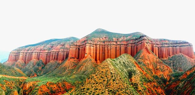
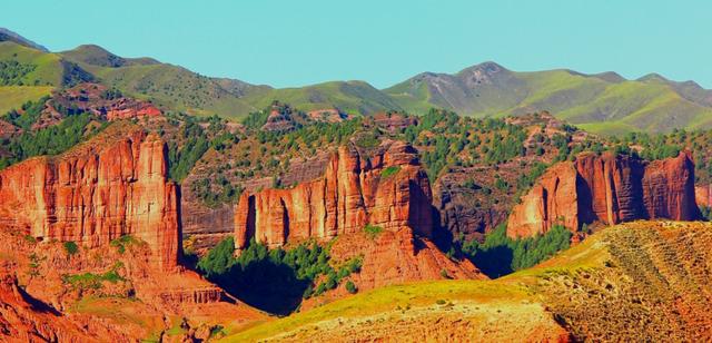
Tongde County Danxia Peak Cluster
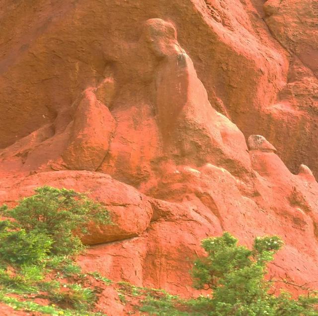
Huangzhong Qujiadanxia Landform – 'Maiden' Rock
Ledou Danxia Landform – 'Skirt Mountain'
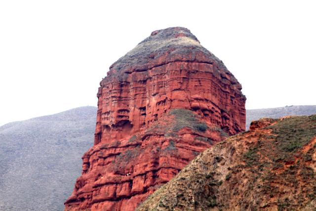
Weilong Danxia Landform – 'Watchtower'
Laiziji Shan Danxia Landform – 'Gesar King's Horse Stables'
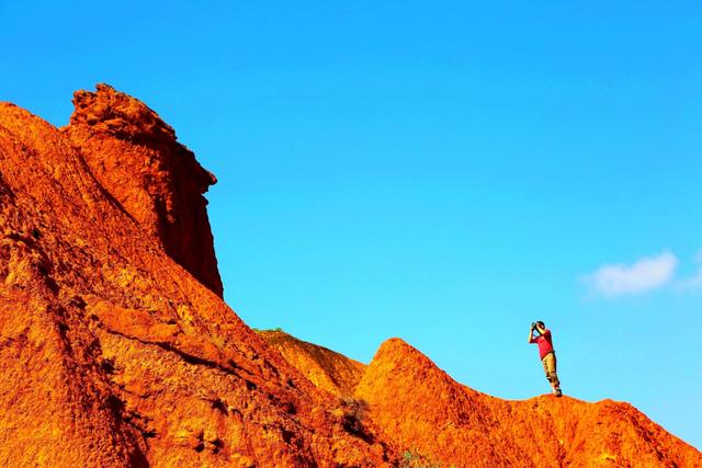
Danxia Peak Cluster – Today and Yesterday
Tongde Danxia Peak Landform
—
Zado County Danxia Landform – Stone Peak
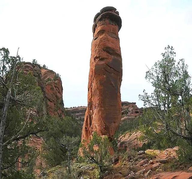
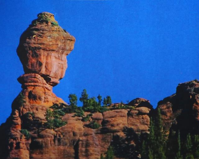
Zado County Danform – Stone Pillar
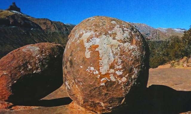
Zado County Danxia Landform – Stone Egg
Danxia landforms, belonging to red layer landforms, refer to red sandstone formed by long-term wind and water erosion and stripping, resulting in isolated peaks and steep cliffs and rocks, and are the total of various Danxia peaks developed along vertical joints in thick red sandstone and gravel layers. They mainly occur in the Cretaceous to the Tertiary period's horizontal or gently inclined red layers, with the Danxia Mountain in northern Guangdong being the most typical.
Notification! Start Investigation!
These places in Qinghai surged to 18℃, Xining immediately…
These six units in Qinghai reported criticism
Source: Qinghai Province Geological Survey Institute
Editor: Li Caijuan