A Thousand-Year-Old Ancient City Hidden Within Changsha's Second Ring Road - Known by Few
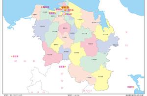
Located within Changsha's Second Ring Road, the Binjiang Riverside area is slated to host the Bazhou City Ruins Park, situated south of the Sanjiaoli Bridge and west of the Xiaoxiang Avenue,
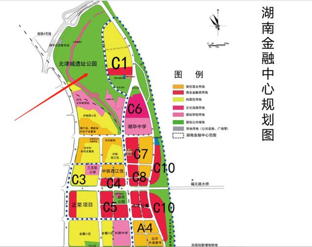
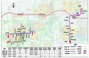
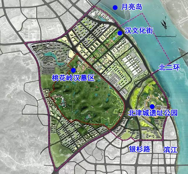
▲ Planning Map
The Bazhou City Ruins site has a triangular layout, covering approximately 500,000 square meters. The site's north and south sides are fortified with earthen city walls, each stretching 2100 meters,
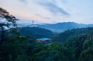
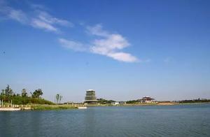
▲ Actual Site Map
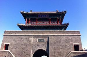
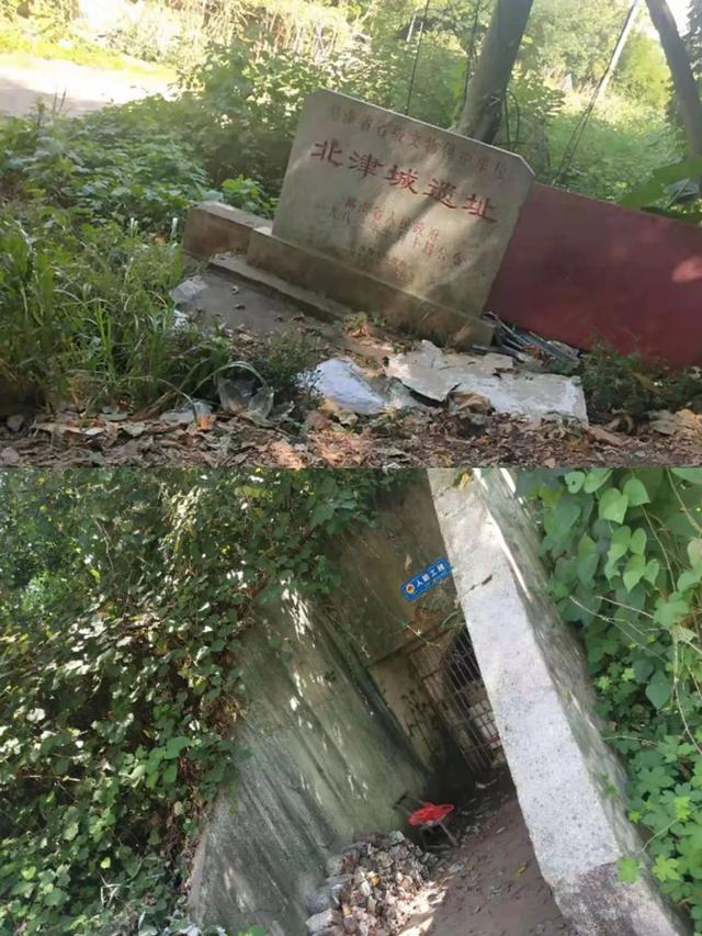
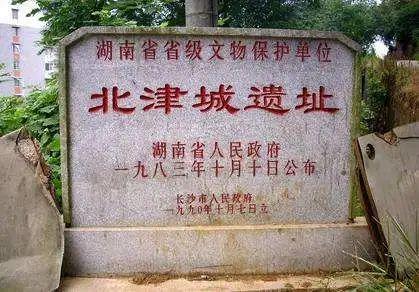
Walk north along the Jin Cheng Lane for about 500 meters, and you'll find a stone tablet marking the Bazhou City Ruins site at a nearby slip road; otherwise, it's hard to discern the existence of a thousand-year-old city wall here,
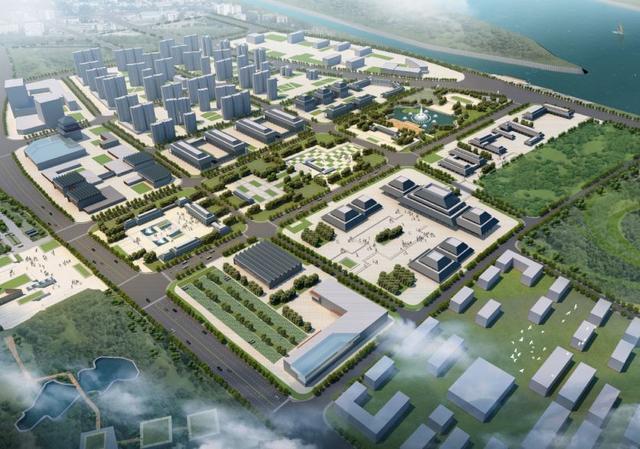
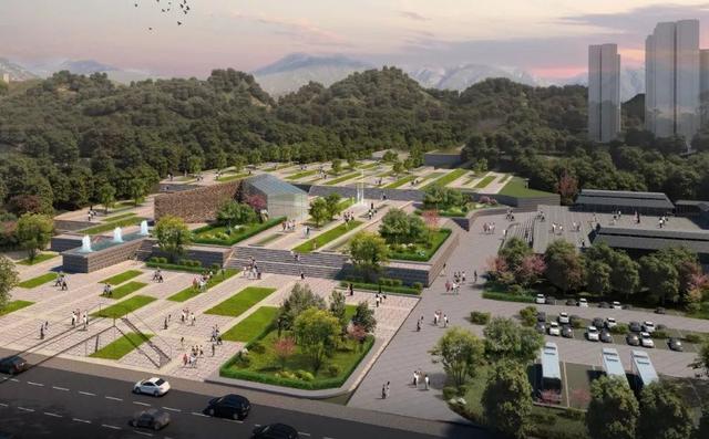
According to the plan, the Bazhou City Ruins site will be developed into the Bazhou City Ruins Park,
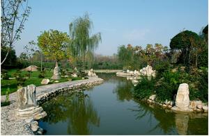
▲ Bazhou City Ruins Park Illustration
So, when will this park be built?
Recently, the Xiangjiang New District responded in the Mayor's Information:
Regarding the Bazhou City Ruins Park, the BazhouCity Ruins Park is the coordinating scope of the Changsha Kingdom Hanwang Tomb Ruins ParkIts construction style should be considered in conjunction with the Hanwang Tomb Ruins Park overall,
Due to the Hanwang Tomb Park not yet commencing construction, the Bazhou City Ruins Park is also temporarily undeveloped; Bazhou West Road and Bazhou West Road are planned to remain unchanged, but a drainage box system needs to be constructed underground to address drainage issues. The construction of this box system is planned to be completed by the end of next year, followed by road construction,Changsha Kingdom Archaeological Ruins Park
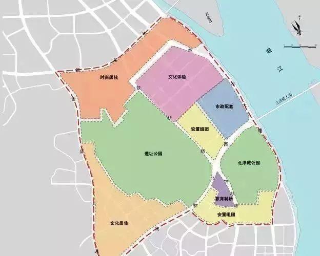
One-heart, four-slices, two-axes linked, layered protection, mountain-river-city,
Taking the ruins park as the core, primarily forming 'Ruins Park – Yueyang Island' and 'Ruins Park – Bazhou City' as the two main scenic axes, creating a visual corridor from Gushan to the Xiang River,
The overall formation takes a mountain-to-river planning structure, based on the current situation and upper-level planning, forming a land use layout of 4 surrounding integrated residential groups,
▲ Han Culture Street Effect Diagram
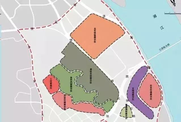
Divided into a cultural relic protection zone, a ruins park zone, and a construction control zone, the ruins park will construct the Changsha Kingdom Hanwang Tomb Historical Museum, Relic Exhibition Hall, Archaeological Workstation, and Cultural Relic Protection Center,
At the same time, taking the ruins park as the main body, and surrounding it with cultural experience districts, fashionable residential areas, municipal supporting areas, and Bazhou Parks, to meet various needs such as leisure, life, and work,
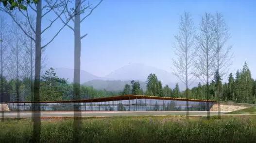
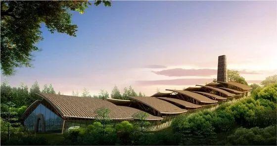
Finally, let's share a wave of effect diagrams for the Han Changsha Kingdom Archaeological Ruins Park,
▲ Han Changsha Kingdom Archaeological Ruins Park Effect Diagram
Notably, the Han Changsha Kingdom Archaeological Ruins Park is Hunan Province's fourth National Archaeological Ruins Park, following the Changsha Copper Kiln, Yong Shun Old City, and Liye Ancient City,
This post is excerpted from @Home in Hexi
@