The Last Pingchacha! Molly's Journey Through Perilous Terrain to Lhasa
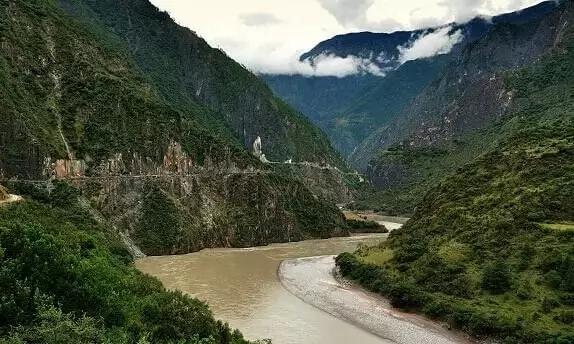
Pingchacha is a road that cannot be found on the map, because it originates from Pingzhonglu in Yunnan, via Charwa Long in Tibet to Qusay, so domestic backpackers gave this route a name called Pingchacha.
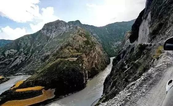
It is known as the Seventh Highway into Tibet, and also the most difficult route into Tibet, it is named as perilous, at the same time it is also the most original and beautiful road with the most scenery, it is called by netizens: being in hell, eyes in heaven. It allows you to experience the extreme feeling of crossing between heaven and hell.
The annual opening period of Pingchacha is 5-10 months, and other times the snow will block the road and cannot be passed through. July and August are the rainy season, and due to collapses and mudslides, the road conditions are extremely poor, therefore the Pingchacha route can actually be passable for less than 4 months a year.
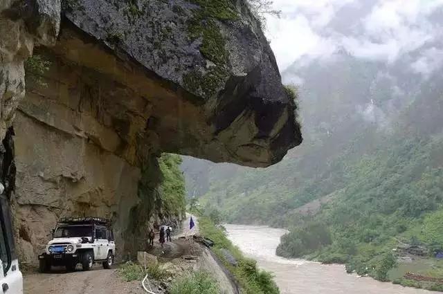
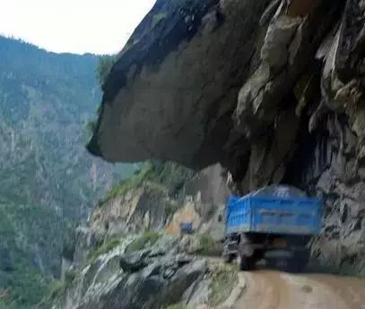

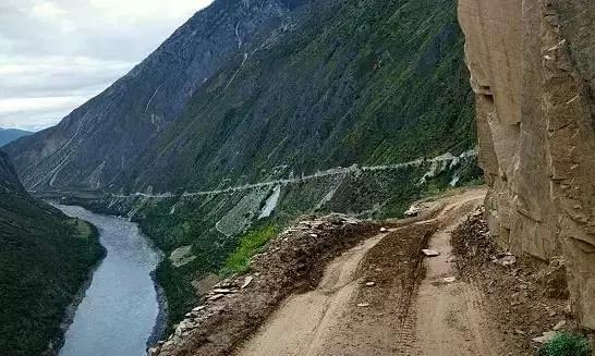

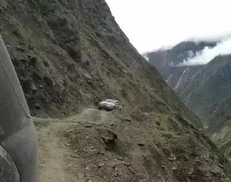
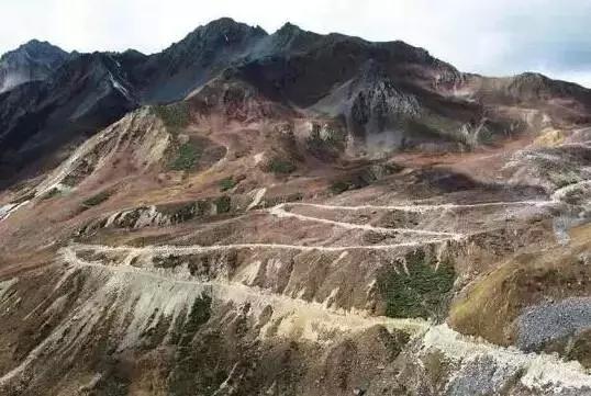
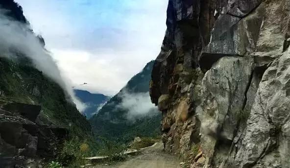
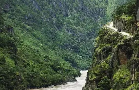
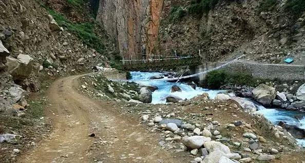
On this 300-kilometer crossing route, various dangers will occur at any time, especially landslides and rockfalls. Because this crossing route does not belong to any grade of highway, the road surface is very simple and rough, it is only slightly widened based on the road paved by horsemen, many sections are carved out of cliffs, making vehicles barely pass through.
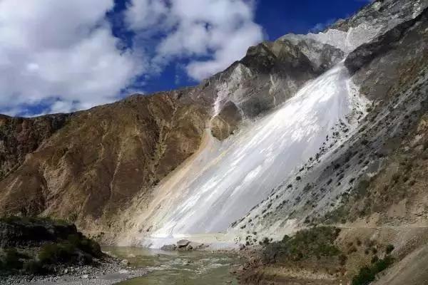
Pingchacha 'Great Sand River' : in fact is a perennial geological disaster, any slight wind will cause small and large rocks to roll down from the slope, less than a hundred, more than a whole landslide. When passing through, you must not honk, you must not shout loudly, you must not stop to take pictures, you must pass quickly; the co-driver should observe the sand flow on the right, the road often appears a 26-degree slope leaning towards the cliff, some sections due to continuous collapse and rockfall, have become a road surface of a large slope, the road surface itself is only one car wide, when the vehicle passes through the slope, the whole car will form a very large tilt towards the cliff.