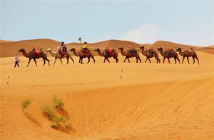
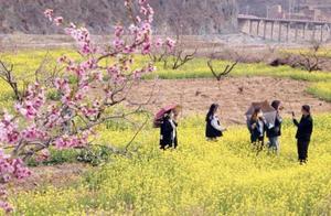
Why is Tibet So Charming?
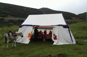
Almost everyone considers Tibet a must-visit destination—and many who have been countless times continue to travel back and forth to it. There is no other place in the world that possesses the charm of Tibet, despite the difficulty of reaching it and the suffering caused by altitude sickness. That's why Tibet is so captivating.
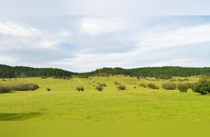
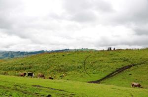
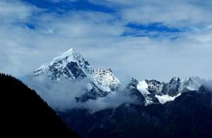
Kunlun Mountain—Mount Tanggula, Mount Gangdis, Mount Nyenchen Tanggula and the three long mountain ranges of the Himalayas divide Tibet from north to south into two major territories: the Tibetan Plateau north of the mountains and the Tibetan Plateau south of the mountains, similar to Xinjiang's 'three mountains enclosing two basins,' but in Tibet, the three mountains enclose the main part of the Tibetan Plateau with an average altitude above 4000 meters.
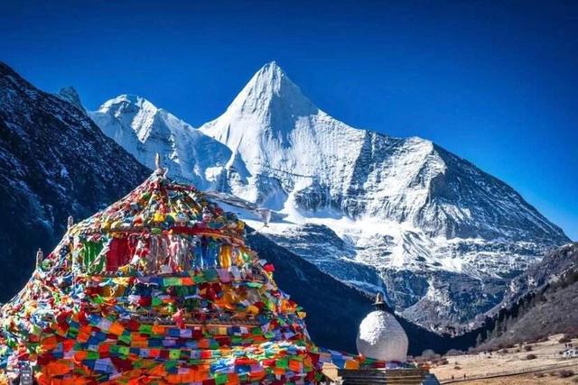
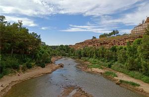
This is a vast area spanning over 2000 kilometers and 20 counties, with a north-south length of over 1000 kilometers and an east-west width of 10 counties. In the eastern areas of Linzhi and Moduo, there are tropical rainforests, while the lowest point is only 200 meters. Following the Himalayas from here westward, the climate becomes increasingly dry and the altitude steadily increases, with countless peaks of 6000 meters, 7000 meters, and 8000 meters appearing one after another until the world's highest peak, Mount Everest, appears in the sky. For a region with such a combination of horizontal and vertical characteristics, how should the tectonic plates be divided? After numerous attempts, we finally chose the standard administrative division method, based on the 7 counties of the Tibet Autonomous Region, dividing them into 7 sectors.
Because in Tibet, the range and boundaries of administrative regions and boundaries almost overlap with natural and cultural areas and boundaries. Even the most typical features of Tibet completely overlap with this region.