Wandering the 72 Passes of Qinling Mountains: Liu Valley
Originally named Liu Valley, also known as Liu Valley, it is now called Liu Valley. It is approximately 25 kilometers from Lantian County and 65 kilometers from Xi'an.
From Xi'an, you can take the Hu-Shan Expressway or the 312 National Highway, turning onto the winding mountain road. From Yu Shan Town Chengcheng Village, take the mountain road and turn onto 101 Provincial Road, heading south for about 3 kilometers to Jiuanfang Township Yu County Mouth Village, and then another 1 kilometer to Xiguanzi Village.
Liu Valley extends south to Shangluo Black Dragon Mouth Town. Legend has it that Emperor Wu of the Han Dynasty divided his forces in two, one through Lantian and one through this valley.
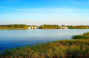
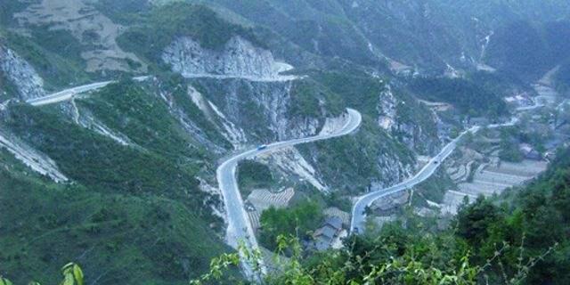
Liuhe River is one of the main tributaries of Duhe River. It originates from the northwest of Donggou Village, Zhangjia Ping, and the south slope of Mu Jia Tai Shan (1845 meters). Liuhe River is 23 kilometers long, with a basin area of 72.1 square kilometers and a total drop of 900 meters.
Liu Valley Flying Gorge
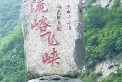
Liu Valley Flying Gorge is located on the Qinling Ancient Road, a unique and beautiful landscape on the peaks of Tongjia Shan and Qin Jia Shan. It backs Wang Shun Shan, faces Liu Yu Temple, and connects to Zhangjia Ping to the south. Enter from Gong Wang Ling Lantian Manchu Ruins, pass through Qinling Ancient Trench Site, and follow Liuhe River south to arrive.
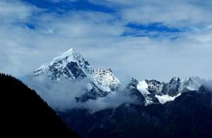
Wang Shun Shan is located on the Qinling North Slope in Lantian County, 60 kilometers from Xi'an, with the 312 National Highway running through it. It is one of the famous scenic spots in Shaanxi Province. The main peak has an altitude of 2311 meters. Wang Shun Shan has both the ruggedness and masculine beauty of Huashan and the charming beauty of Huangshan. Climbing to the top of Jade Emperor Peak, you can see West Lake Hua Shan to the east, the Wei River to the north, the mountains winding south, and the ancient capital of Chang’an to the west.
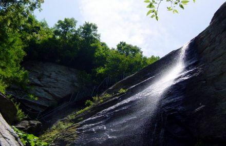
Standing at the bottom of 'One-Line Sky' Valley, you can't help but feel that the two walls are close together, with a single ray of light, which is a wonder.
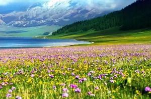
The trees on the mountain are lush, with vines hanging down, and magnificent green pines stand at the cliff tops, with their branches spreading out. Wild rabbits pass through the forests, colorful pheasants fly in the air, salamanders play in the water, black bears fight and wrestle, and herds of goats graze together.